Spring 2024 Edition
Alumni & Friends Magazine
Time Machine: The Many Roles of Radar Hill
Across the Hocking River, Radar Hill has served many eclectic purposes in the last 60 years.
Mary Reed, BSJ ’90, MA ’93 | April 11, 2024
Share:
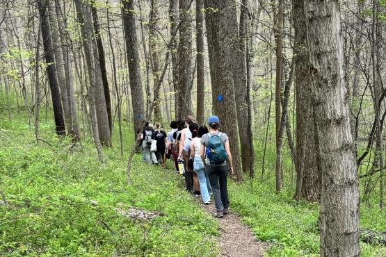
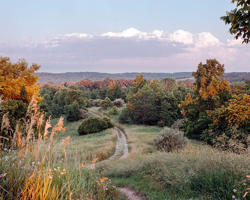
To most people, Radar Hill is simply a popular hiking spot at The Ridges Land Lab on Ohio University’s Athens campus. Understandably so—Radar Hill provides a 360-degree view that includes Uptown Athens and the surrounding hills. Contemporary visitors might wonder how it got its name, as there is no radar in sight. But those who were around from the mid-1960s to the 1980s know exactly why it is called Radar Hill: One of the highest points in Athens was once home to several radars, including imposingly large dish antennas.
First, according to the Athens Conservancy and a 2010 article in The Athens Messenger, there was a World War II Army defense station that positioned radar technology to track aircraft from this high, open spot. Then in 1963, the Radar Hill Laboratory opened. Faculty in OHIO’s Department of Electrical Engineering used moon and satellite tracking equipment at the lab to remotely study lunar surfaces for NASA’s Apollo mission. This equipment included 30- and 28-foot dish antennas and a 70-foot antenna test tower. The lab’s equipment was soon eclipsed by more advanced technology, and the Radar Hill Laboratory was abandoned in 1969 with any usable equipment moved to Clippinger Laboratories. Defunct structures stayed on-site until the last one was dismantled in the 1990s.
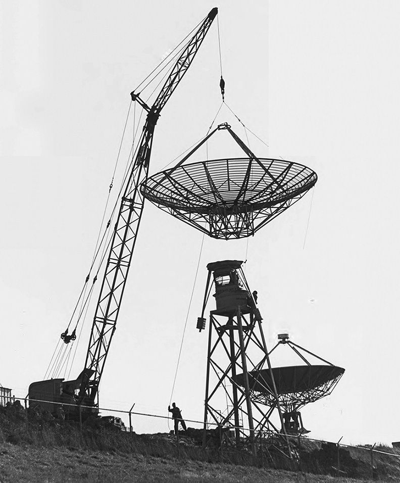
Radar dishes were installed on the hill in the early 1960s and stayed there for decades. Photo courtesy of the Mahn Center for Archives & Special Collections
Research on Radar Hill did not end after the satellite tracking lab closed, however. Students in a restoration ecology course have been periodically planting and monitoring native grasses on the site since 2012. And in 2021, Radar Hill became home to a Motus Wildlife Tracking System, which is an automated receiver that can detect and count tagged birds and bats that fly within about 10 miles of the receiver. It’s one of nearly 1,800 such stations worldwide. OHIO faculty and students in field ecology and ornithology tag wildlife and use the data for research, conservation and learning.
Today, hikers, birdwatchers and history buffs can hike to Radar Hill with the help of the OHIO Museum Complex’s outdoor exploration tool, mAppAthens. The Ridges Land Use History Tour takes users to Radar Hill and provides information about ecology, artifacts, faculty research and Radar Hill itself.
Featured image by Adam Remmant, BSED ’04, MED ’19