Image
OHIO expert Dr. Ryan Fogt provides brief and easy-to-understand explanations of a wide range of weather terms you may not be sure about, while also discussing other questions we had about the weather.
July 9, 2026
Share:
Already this year, we have seen a heat dome cover much of the United States, had an omega block cause an oppressive heat wave in Europe and heard predictions about how the weather may be impacted by an El Niño and possibly even a Super El Niño.
While all these weather terms are fascinating, they can also be somewhat confusing for those of us who mainly use weather terms such as snow, rain, wind and “it’s too cold outside.”
After all, we often hear weather terms in the national and international media, and there seem to be new terms arriving faster than an Alberta Clipper, and many of us may not be exactly clear about what they all mean.
For answers to these questions and many more, we turned to Dr. Ryan Fogt, professor of meteorology at Ohio University and director of the Scalia Laboratory for Atmospheric Analysis, and gave him a bomb cyclone’s worth of questions about weather terms.
Here is information from Fogt about these weather terms, along with some links where you can find more information.
Derecho – A derecho is an organized group of thunderstorms that create straight line wind damage. This line of storms can move and stay together for long periods of time and will at times last for more than a day. In rare cases, a derecho can spawn a tornado, but more often creates strong winds and straight line (non-rotating) winds.
Straight Line Winds – Straight line winds, also known as “downbursts” have wind flowing primarily in one direction out of them, which can leave debris in straight lines after the storm. Tornadoes have wind flowing into them and are marked with strong rotating winds, which leaves debris at angles due to the curving flows of the winds. Tornadoes and straight line winds can both cause extensive damages due to strong winds, and both can have the roaring sound that people often associate with tornadoes.
Santa Ana Winds – These are the dry winds that blow down the slopes of mountains in California and often spike wildfires. As the wind flows down from the mountains, it gets warmer and dryer, which can then bring warmer and dryer weather to the coastal cities of California.
Cyclones – Cyclone is a general term for a low-pressure system with rotating winds. A tornado is a form of a cyclone, but not all cyclones are tornadoes. Cyclones spin counterclockwise in the Northern Hemisphere and clockwise in the Southern Hemisphere.
Tropical Cyclone – A tropical cyclone is a cyclone that originated over tropical waters. A hurricane is a type of tropical cyclone. Other types include tropical storms, tropical disturbances and tropical depressions.
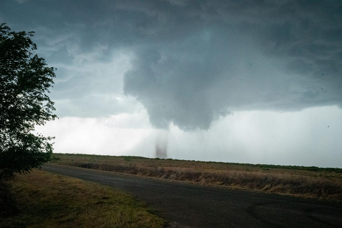
Waterspouts – Associated with storms, waterspouts can be an element of rotating wind over the water. According to the National Weather Service, you can have tornadic waterspouts that are tornadoes that form over the water or fair weather waterspouts that form during fair and relatively calm weather.
Dust Storms – A dust storm is a wall of strong winds that picks up dust and debris as it moves across the land.
Haboob – This is another term for an intense duststorm or sandstorm.
Dust Devil – Rotational winds that pick up dirt and dust are known as dust devils. Dust devils are not caused by storms or clouds, but instead by strong local temperature contrasts.
El Niño – An El Niño is when the Pacific Ocean waters along South America and in the Central Equatorial Pacific become much warmer than usual. As the warm water in the ocean comes up to the surface, it releases heat into the air, which causes the atmosphere to also become warmer. The El Niño can change the weather around the globe, and we have already officially entered an El Niño. You can read more about this term, and its impact on weather in the region and around the globe here.
Bomb Cyclones – A cyclone that forms between 30 and 60 degrees of latitude and is rapidly becoming more intensive, at an average rate of 1 mb (metric system unit measuring air pressure) per hour for 24 hours, is a bomb cyclone. A bomb cyclone has strong winds, and in the U.S. is more common on the East Coast. Much like a Nor’easter, a bomb cyclone will strengthen quickly if the conditions are right.
Nor’easter – A Nor’easter is a storm along the East Coast in North America. The winds on land from these storms in most cases come from the northeast, which is how it gets the name. According to the National Weather Service, Nor’easters can occur throughout the year but are more violent between September and April.
Alberta Clipper – Alberta Clippers are generally fast moving storms that travel from south central Canada (originating in or near the Canadian province of Alberta, hence their name) into the Midwest, Great Plains and at times the East Coast of the United States. Alberta Clippers tend to bring gusty winds and cold temperatures. They can also bring snow but amounts of snow can vary.
Atmospheric Rivers – An atmospheric river is a narrow but very long line of water vapor and usually clouds (they can be up to 10 times as long as they are wide) that funnel rain to the areas below the line of clouds. Atmospheric rivers are frequently associated with heavy precipitation. They are the largest "rivers" of freshwater on Earth, often moving more than double the flow of the Amazon River. Atmospheric rivers can exist everywhere, and in colder areas such as Antarctica they can bring snow.

Explaining hail – “Hail forms very differently than sleet,” Fogt explained. Hail forms when air is pushed upward in thunderstorms and moisture is taken up into the freezing temperatures. The raindrops then freeze and can be tossed up and down in the freezing area of the atmosphere. As the drops freeze, melt and refreeze, they can add layers, which is why you have different sizes of hail. When the hail gets heavy enough or moves away from the updraft, it falls down to the ground.
Sleet – Sleet starts out as snow. When it falls to the ground, it moves through a warmer layer above freezing and melts into rain. Prior to reaching the ground, the rain moves into a deep sub-freezing layer and then refreezes. The sleet then becomes ice pellets before hitting the ground.
Freezing rain – Freezing rain starts out like sleet, as snow in cold clouds. It melts into rain like sleet in a warm layer above freezing as it falls to the ground. It also then falls into a sub-freezing layer near the ground, but this layer is very shallow which does not give the rain enough time to refreeze into an ice pellet like sleet. Instead, it remains as a ‘supercooled’ rain that falls to the ground as a liquid, but then freezes on contact with the ground and can create slippery conditions and black ice.
What is an omega block? – An omega block is a weather patterns that is shaped like the Greek omega letter (or like a horseshoe) that stalls in one place. The weather pattern is very slow to move, which can bring flooding or warm and often drought conditions, depending on your location in the omega shape. In Europe in June, an omega block caused an oppressive heat wave for many areas.
“Inside the omega block it may be warm and dry, and outside it can be cloudier and rainy,” Fogt said. Omega blocks can also bring rain or cooler temperatures.
What is a heat dome? – A heat dome is a large bulge of warm, sinking air in a high-pressure system that can stretch for up to 1,000 miles during the spring and summer months. As the air drops closer to the surface, it gets even warmer which then causes temperatures to rise. The dome of air basically traps in heat and humidity, and the very high temperatures in a heat dome can last for several days. Heat domes also often keep storms from forming, which can worsen drought conditions. Athens experienced a heat dome in early July 2026 (with excessive heat warnings in place).
Equinoxes and solstices – The solstices are the days with the most daylight and least daylight of the year. The Summer Solstice is the longest day in the Northern Hemisphere, while the Winter Solstice is the shortest day in the Northern Hemisphere. The equinox means days with equal hours of day and night for every place on Earth.
The Spring Equinox at the North Pole means the sun rises above the horizon for the first time in six months and moves higher into the sky each day until the summer solstice. The North Pole stays in sunlight every day until the Fall Equinox, when the sun goes below the horizon and remains there until the Spring Equinox. The times of sunlight and darkness are flipped at the South Pole.
“I have spent months down there [in Antarctica] and have never seen the sun rise or set,” said Fogt, who conducts research on Antarctica’s climate change, among his other areas of research. He has just seen daylight during his time in Antarctica.
For people around the world the equinoxes represent the changing of the seasons and seasonal weather patterns. At Ohio University, the hours of daylight are now getting shorter since we have passed the Summer Solstice. We still have many more weeks of summer, though, as the Fall Equinox will bring the official beginning of fall, this year on Sept. 22, 2026.
At Ohio University, fall will unofficially begin with the beginning of fall semester on Monday, Aug. 24, when Fogt will begin teaching new classes of students about these and other weather terms as part of OHIO’s meteorology program.
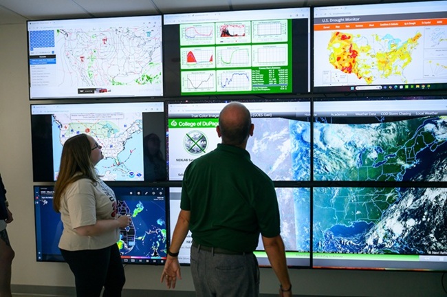
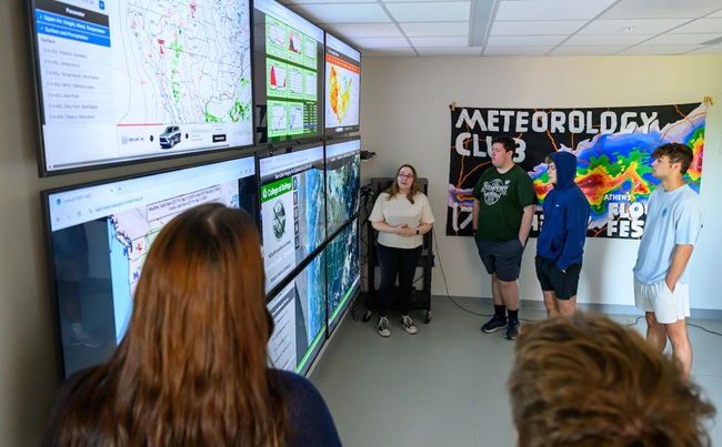
Ohio University students and faculty researchers work every day at the Scalia Laboratory for Atmospheric Analysis, studying the weather, making weather forecasts and conducting research. You can learn more at the Scalia Laboratory website.