How will an El Niño affect our weather this year?
Ohio University expert Dr. Ryan Fogt explains what an El Niño is and what changes it could bring to our weather this year, as well as how it could affect weather patterns around the globe.
July 8, 2026
Share:
The tropical Pacific Ocean is moving into an El Niño year, which could have significant impacts on the weather, especially if it becomes a Super El Niño year.
But does that mean it will be hotter or cooler this summer in the region and around the globe, and what does it mean for fall and winter? And was the deluge of rain that hit Southeastern Ohio in June part of the El Niño?
For answers to these questions and more (we had A LOT of questions), we turned to expert Dr. Ryan Fogt, professor of meteorology at Ohio University and director of the Scalia Laboratory for Atmospheric Analysis.
What is an El Niño? And what does it mean to have a Super El Niño?
An El Niño is when the Pacific Ocean waters along South America and in Central Equatorial Pacific become much warmer than usual, Fogt explained. As the warm water in the ocean comes up to the surface, it releases heat into the air, which causes the atmosphere to also become warmer.
“And that will change global weather,” Fogt said.
The water in this part of the Pacific Ocean will typically increase by 1 or 2 degrees Celsius during an El Niño. That may not seem like a big deal, but it is actually very significant, especially when you consider that it is happening over such a large area.
“It’s one of the biggest drivers of global weather changes,” Fogt said. The heat that rises into the atmosphere changes the weather patterns around the globe. The biggest impacts will be on South America and Australia, but we will feel the effects in the United States, too.
“El Niño years tend to be warmer globally,” Fogt said, adding that we have already entered into an El Niño, as the official classification began on June 11.
“This is pretty early onset,” Fogt explained, adding that the forecast is for the El Niño to peak in December.
They are already forecasting that next year, 2027, will be the warmest year on the observational record.
Last winter, Fogt added, we were in a weak La Niña year, which is the opposite of an El Niño. In a La Niña, the waters of the Pacific Ocean were cooler than normal, which also affected global weather.
And this year, the waters in the Pacific Ocean have warmed considerably, even warmer than most El Niño years.
“This is forecast to potentially become a Super El Niño,” Fogt said, meaning the sea surface temperatures in the Pacific will be above 2 degrees Celsius warmer, possibly up to 3 degrees warmer.
“Since the 1950s, that has really only happened three times,” Fogt said. The most recent Super El Niño was in 2015-16.
The warmer temperatures in the Pacific Ocean from the Super El Niño can create massive amounts of energy, which in the past has led to record high temperatures and significant flooding across the globe.
The latest predictions show more than 66% chance of a Super El Niño developing later this year. As the event unfolds, you can expect to see more information about this in the national and international media outlets in the coming months.

How will the El Niño affect our weather?
While the El Niño brings warmer weather globally, that is not always the case in the United States.
“Typically, it means a cooler summer for much of the U.S.,” Fogt said.
At the end of June and beginning of July, much of the U.S. had very high temperatures, but that extreme heat was caused by a high pressure system or a “heat dome” and not by the El Niño. The El Niño will bring some cooler temperatures in the coming months, but with background warming from climate change, it may not feel much colder than normal.
During an El Niño, the subtropical jet stream strengthens across the southern United States, which in general keeps the warmer tropical air further south, and allows more cooler Canadian Arctic air to come into the country from the north.
The El Niño also means a wetter summer in the southern and western parts of the country. Northern California, in particular, is likely to see more rain than usual this year. The rains in the United States during El Niño are often hard, heavy rains that lead to flooding and mudslides.
The stronger jet stream also generally leads to fewer hurricanes hitting the United States from the Atlantic Ocean, as it can create vertical wind shears that break up the hurricane weather patterns. You still have some hurricanes, but they are typically fewer and not as strong as usual.
Around the globe, though, temperatures are expected to rise this year and into the next year due to the El Niño, combined with the impacts of climate change.
"They are already forecasting that next year, 2027, will be the warmest year on the observational record," Fogt said.
Around the globe, areas such as Australia and the Maritime Continent will likely see high temperatures and the weather will be very, very dry, Fogt explained. These areas will be more prone to wildfires and heat waves due to the El Niño, which will peak in their summer months.
In South America, there will be greater chances of flooding this year due to high amounts of rain caused by the El Niño. And in Antarctica, which is one of Fogt’s areas of research, there will likely be warmer than normal temperatures and more melting snow in portions of West Antarctica, including reduced sea ice in the Ross Sea.
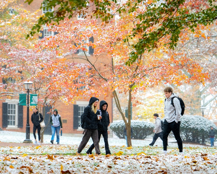
Photos by Ben Wirtz Siegel
How will El Niño impact the fall and winter? And what caused the heavy rains in our region in June?
It is very likely the fall and winter months in the United States will continue to be impacted by El Niño, when it typically reaches its greatest intensity. This will likely lead to a cooler than normal winter, which when combined with background warming from climate change, will result in a near normal winter overall.
Last winter, Fogt added, while we had snow on the ground for a considerable amount of time in the southeastern Ohio region, it was actually a below average year for snowfall. We had two or three notable snow events, but one produced more ice than snow.
“That will be a trend more and more, for much of the U.S., more rain events and less snow events,” Fogt said.
Southeastern Ohio and the Athens area in particular were hit hard by a heavy rain event in June, which brought flooding in many areas.
“It was a lot of heavy rain that centered on a very narrow band,” Fogt said. That band basically ran along the U.S. Rt. 32 corridor from Cincinnati to Athens, where the storm stalled and stayed in place for several hours. Cities in that band reported receiving 3-6 inches of rain in just three hours.
The Scalia Lab in Athens recorded 6 inches of rain in three hours, which is the greatest amount of rain in three hours that Fogt has seen in Athens since he arrived at Ohio University in 2009. The heavy rains in the short amount of time caused the smaller creeks to flood, but did not cause flooding in larger bodies of water like the Hocking River or Ohio River.
With that rainfall, Scalia Lab had recorded 32.4 inches of rain for the year thus far. The normal is 40 inches of rain per year total, so the region is currently a little ahead of normal due to the heavy rains in June.
Fogt, along with the student and faculty researchers at Scalia Laboratory will be watching the weather closely in the coming months, to see how the El Niño may impact the region and study if it becomes a Super El Niño.
You can check the forecast for the region every day at the Scalia Laboratory website. The website includes detailed information on current weather conditions, as well as a wide range of information on weather and climate analysis in the region and around the country.
Read more from OHIO Faculty Experts
- Cooling crisis: Scorching temperatures and rising energy costs leave Americans feeling burned - OHIO News article from July 2026.
- It’s the heat AND the humidity: OHIO’s Ryan Fogt discusses record-breaking mugginess of June and July - OHIO News article from September 2025.
- In a Nutshell: From Athens to Antarctica, Ryan Fogt navigates worlds of weather and learning - OHIO News article and video from March 2025.
- Weathering It All - This OHIO Today Magazine article from October 2025 tells the story of the student-centered Scalia Laboratory for Atmospheric Analysis.
- Appalachian communities face growing risks as extreme weather communication gaps leave residents vulnerable - OHIO News article from September 2025.